At EUSPA we do, because space enables smart and clean transport.
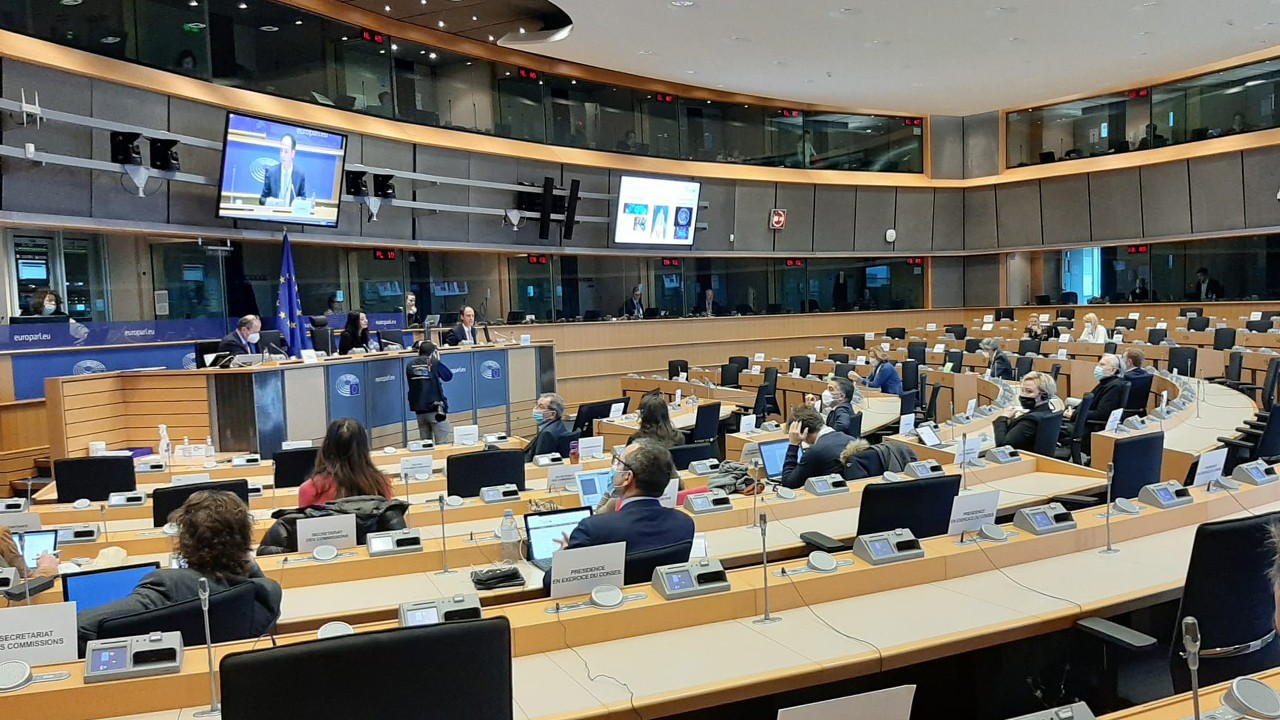
Recently, I had the opportunity to exchange views with the Committee on Transport and Tourism (TRAN) of the European Parliament on how #EUSpace generates tangible benefits to almost all means of transport. My short intervention came at a perfect time, as I had the chance to provide to the Members of the European Parliament valuable input for our recently published EUSPA EO GNSS Market Report (get your copy here 😉).
Let me share some key figures on the relation between space and smart mobility.
Transport holds +1,000 Billion € of the global revenues of GNSS for the next 10 years!
EUSpace makes EU skies safer and greener.
It is well known already within the aviation industry that EGNOS brings multiple benefits to both airlines and airports. Smoother glide paths reduced go-arounds, lower fuel consumption, and emissions are the main benefits of the EU’s SBAS system. Have we advanced in the uptake of EGNOS across European airports and helipads? The answer is yes, we have! 64% of all European instrument runway ends rely on EGNOS which accounts for around 450 airports – an increase of 10% in comparison to the 400 airports in 2020. A major step in enhancing the market uptake of EGNOS was the adoption of the PBN Implementing Rule by the European Commission in late 2018. By 2024, all European instrument runways should have implemented LPV approaches delivered by EGNOS.

Airplanes and helicopters are not alone in Europe’s sky. We now rely more and more on drones. Unmanned aerial vehicles (UAV) are the biggest and fastest-growing market for EU-based SMEs in GNSS applications. UAVs allow new and greener air mobility schemes for parcel deliveries and even critical goods such as medical equipment. The good news is that most commercial drone brands (over 30%) have Galileo onboard!
Space is a booster for sustainable and safe land transport
EU Space technologies have been central to rolling out smarter and cleaner modes of transportation but above all helped make our roads safer. The fruitful interaction between EUSPA, EU legislators, and the automotive industry contributed to having over 15 million private cars, in Europe (55+ car brands and 150 models) navigating with Galileo thanks to the implementation of the eCall regulation in 2018. According to estimations, eCall could help prevent 2,500 road deaths and save EUR 26 billion every year. Looking into the ‘’autonomous’’ future, 6 car makers are already commercializing highly autonomous cars with Galileo for additional accuracy and robustness in the navigation experience.
When we say that EU Space technologies contribute to more sustainable and cost-efficient modes of transportation, we mean it; the numbers are in!

Together with our partners in the Rail ecosystem, we are looking into ways that will make rail operations safer and more efficient both for passengers and freight. The European satellite navigation technologies, namely EGNOS and Galileo are game-changers in the rail industry. They can become a decisive source for the implementation of the European Rail Traffic Management System (ERTMS), the largest industrial rail EU project. By using EU space technology, the railway sector not only increases safety but can significantly reduce maintenance and other operational costs by up to 15%. EUSPA-funded project CLUG has made concrete steps towards providing a cost-efficient train tracking solution based on EU satellite technology together with other sensors and data.
EU Space data contribute to the Blue economy
International maritime trade is expected to grow by 2.4 percent annually over the 2022–2026 period, according to a UNCTAD report. With new building orders surging, shipping lanes are becoming more congested. Coupled with the sprouting of wind offshore farms and the designation of new protected aquatic areas, marine traffic management requires surgical maneuvering new levels of stringent accuracy.
Today more than 30 global manufacturers provide Galileo-enabled receivers. While our EU positioning system is becoming an important layer of accuracy in open waters, 6 EU Member States are already operating EGNOS retransmissions inshore infrastructure. As of today, 90% of maritime receivers are EGNOS-enabled and 35% Galileo-enabled. Soon, the maritime community will have at its disposal a new EGNOS service, which will complement and serve as an alternative to the local DGNSS networks, currently deployed along the European coasts.
By combining satellite technologies maritime operators can better plan and execute the itineraries of their fleet. Copernicus can generate precious data on the strength and direction of ocean streams. Combing this knowledge with precise navigation offered by Galileo and EGNOS (in Europe), vessels can optimize their routes, spend less fuel, and therefore cut down their CO2 emissions.
Let’s think #EUspace!
For Europe to achieve its Green Deal goals and level up in its "digital game’’, secure space technologies are central. At EUSPA, we make sure that Europeans and their companies have the much-needed access to EGNSS and EO data by democratizing EGNSS and EO data and by designing safe and secure services that best meet their needs.
Rodrigo
PS: We will have the opportunity to further discuss novelties and space solutions to support our green and digital policies at the Copernicus Horizon 2035 colloquium. Will you join?
CEO at ESSP (European Satellite Services Provider)
2yThank you Rodrigo. This is very inspiring ! We are proud to support EUSPA and to contribute to safe, secured and green transports. #EUSPA #EGNOS #ESSP